Have you noticed the Moon being larger and brighter over the last few nights? Have you also noticed the tides being higher than normal?
The two are related. On Monday the 14 November, the full Moon coincided with the Moon making its closest approach to the Earth on its elliptical orbit. The technical name for this is the perigee-syzygy of the Earth–Moon–Sun system but it is commonly known as a supermoon. The moon on Monday was at its closest point to the Earth for 68 years, the last time it was so close was on the 26 January 1948 and it wont be as close again for another 18 years.
The gravitational force exerted by the Moon has the largest effect on tides on Kosrae and when the moon is closer to the earth the tide range (the difference between high and low tide) is greatest and high tides are higher than normal (often known as King Tides). This is why high tides have been so large over the last few days. In addition average sea levels are around 5-6 inches higher than normal pushing all tide levels up even higher at the moment.
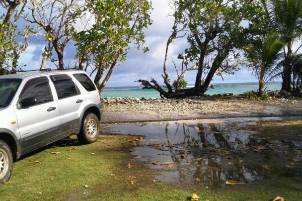
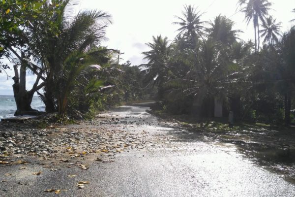
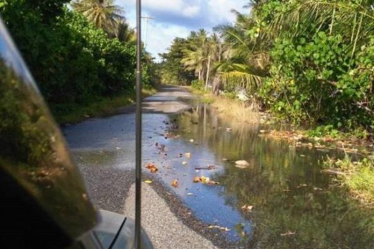
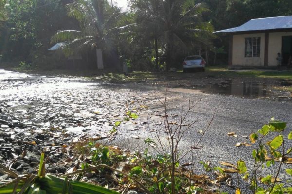
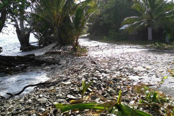
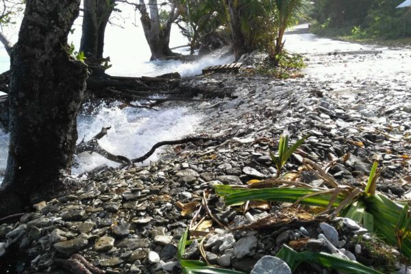
The high tides in the afternoons of this week will have caused some flooding of low-lying land. However, wave conditions around high tide did not appear to be too large, reducing the occurrence and impact of wave overwashing of land. Flooding and overwash of the road did occur again at Mosral, with some flooding of residences on the seaward side in Utwe also occurring on Tuesday.
Kosrae measures sea levels using a tide gauge at Marine Resources dock in Lelu Harbour. This measures sea levels every 10 minutes and this month is its fifth birthday. The high tide on Tuesaday at 3:40 pm was the highest sea level recorded during these 5 years with a height of 2.29 m (or 7.52 feet). You can find out more information about tides on Kosrae and how we measure them here.
Kulo ma lulap to Moses Carlton for the photographs and Robert Jackson and Blair Charley at KIRMA for the information on flooding.
We would welcome any other information or photographs on areas flooded.

